Why air quality should be an essential parameter for our navigation algorithms.
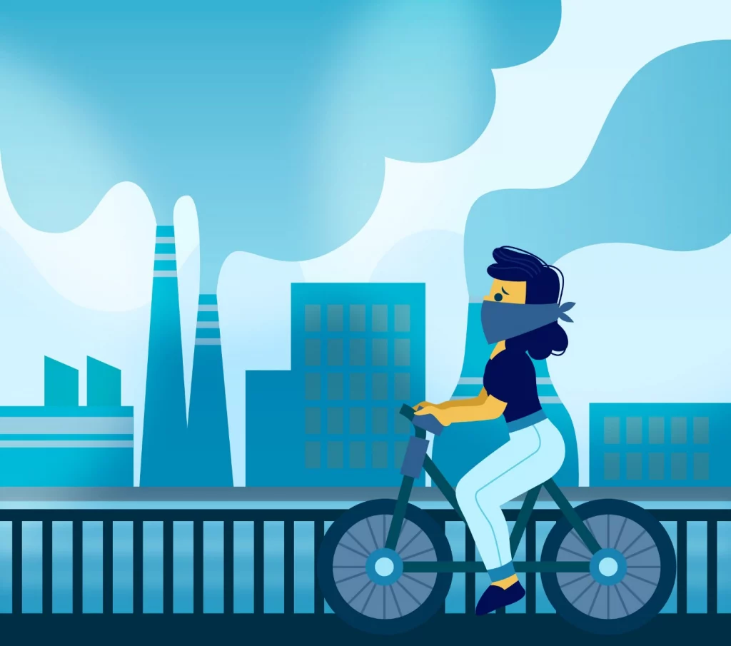
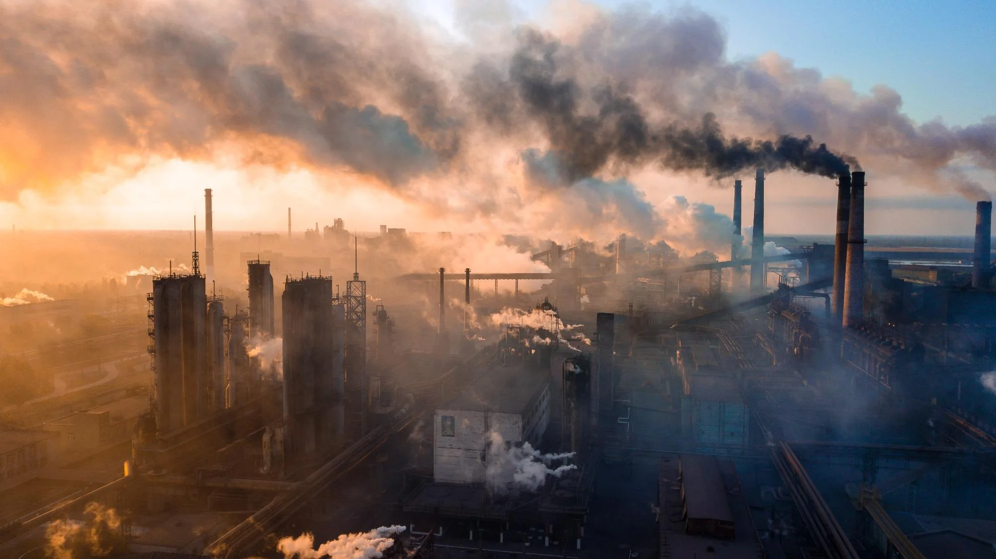
On a regular working day in 1802, seeing heavy layers of smog hanging over Manchester was nothing out of the ordinary. As factories running total capacity on steam power fueled by burning large volumes of coal were adding more and more layers to the skyline, it was getting harder to breathe in the city. But no worries, the clouds will disperse once factories stop and a small trip to the countryside will give you the refreshment you need! This was, very simplistically, the understanding of air pollution during the first industrial revolution. People were aware that industrial manufacturing was creating air pollution, but it would take 50 years to realize that it would be a direct cause of human deaths and another 100 years to know it would lead to a global climate crisis¹.
It would not be surprising to hear that things did not get any better. Carbon pollution from fossil fuels is at an all-time high². Due to fossil-fuel-based transportation and the booming commercial building sector³, sources of air pollution are more local, distributed, and sophisticated now. We are more aware of the global climate crisis thanks to the abundant scientific data. Nevertheless, we as humans doing great work, although not enough, on mitigation and adaptation to this new climate reality. There is an exponential growth of investments in renewable energies, the automotive industry is turning its face towards hybrid and electric engines, and the public is more informed and pressuring politicians to create feasible solutions. Availability of advanced monitoring technologies enabling us to shape our lives to adapt to irregular environmental situations such as storms, floods, excessive heat, air pollution, etc.
Shortest route vs. Greenest route
Imagine you sitting in your office, it is almost the end of the working day, you want to check out the traffic on your iPhone. Any navigation app will give you choices varied between two parameters: shortest distance and shortest time. In the last couple of years, navigation algorithms have tried to implement eco-routing in their algorithms as well. Rather than looking for the fastest time and distance, it looks for a path that requires less fuel and reduces emissions.
According to Conversation Magazine, researchers did a study in 2013 analyzing the costs and benefits of eco-routing⁴. They ran traffic simulations in downtown Cleveland and Columbus, including highways, arterials, and minor local roads. Both are busy urban areas; for example, about 65,000 cars drive through downtown Cleveland per hour during rush hour. In one case, they found that the eco-route cut fuel use by 18 percent but took 44 percent longer. The team also found that fuel savings were exceptionally high when streets were congested. This is a promising study to alleviate our lousy effect on the environment, yet it only covers automobile transportation.
This is not surprising considering the heavy reliance on private transportation in the US. Can we come up with a more sophisticated way to figure out the best route that will create a minimum carbon footprint and save us from being subject to low air quality? This is the question that got me thinking.
The Air We Breathe
Human-made air pollution shortens life spans, especially for those living in metropolitan cities. Thanks to various air quality monitoring websites and apps such as Waqi and Breezometer, we can know the average air quality in our areas. These technologies can help us arrange our activities, such as deciding when to go for a walk/run or take the kids out based on the current air quality.
(Mostly European) In cities with relatively developed public transportation and biking routes, people tend to utilize these opportunities rather than relying on private cars. Even though you minimize your carbon footprint by biking or walking to your destination, you’d still be subject to bad air quality that would damage your health. What if our navigation apps consider this a parameter when suggesting a route? What if we not only minimize our effect on the environment but could also reduce the environment’s effect on us? Can an algorithm be developed to find an optimal route with a shorter distance, shorter time, and cleaner air? This is a challenge that requires infrastructural change.
Hyper-local Air Monitoring
As mentioned above, air pollution has become more local and distributed due to the large availability of cars and commercial buildings. Our air quality monitoring efforts should also be localized. Most air quality measurements are conducted using several air quality stations and processing satellite images. Waqi and Breezometer, for example, take a generalist approach to air monitoring; rather than monitoring sudden and local changes, they make projections based on a limited amount of complex air quality data. But this method does not respond to the rapid air quality changes in all city parts.
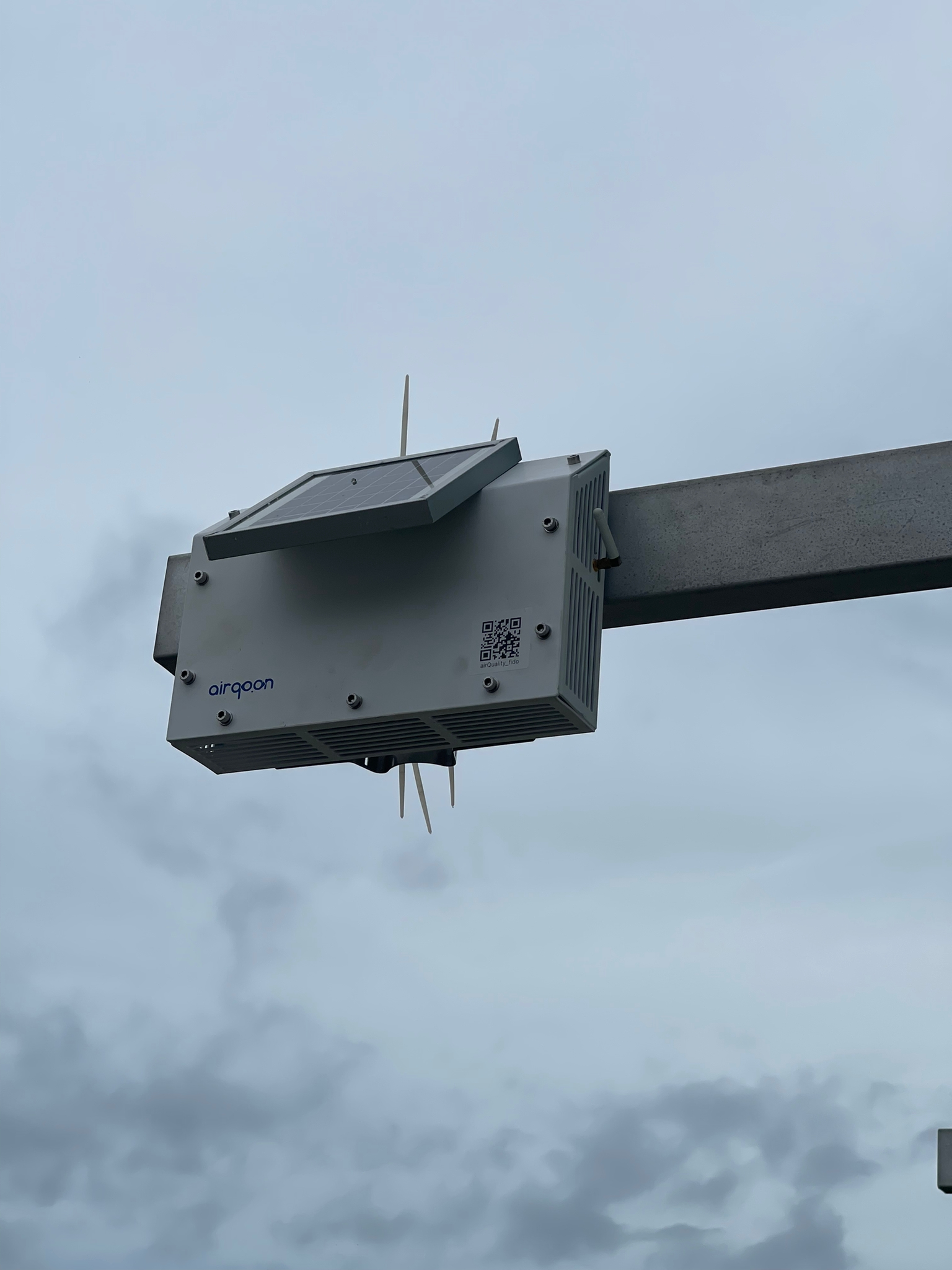
Air pollution is everywhere, and air quality changes even by the hours we should be able to monitor these changes. We should invest in hyperlocal air quality monitoring systems that are smaller, cheaper, and easier to set up and put on every street: on street/traffic lambs, on taxis, around schools, etc. This localized, precise data will help the public to get a clear sense of the air they breathe in their streets at a specific moment, helping developers to build smarter navigation algorithms.
No Route Found, Call Your Mayor.
You might rightfully think that you can take the metro rather than your car, and it’ll result in less carbon footprint, and you’ll not be inhaling carbon monoxide. Sadly this is not always the case. It was later found that, for example, the air quality in metro stations in Istanbul is worse than on the street level.
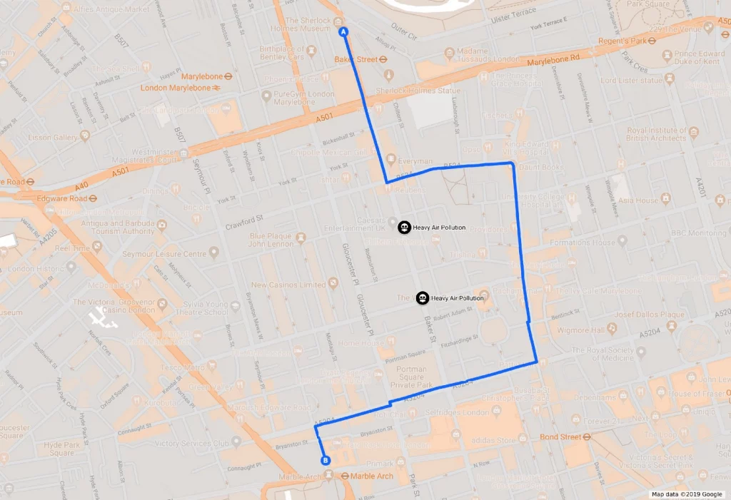
Optimizing routes is already challenging; adding another highly fluctuating variable will make it harder to find the perfect path. But it is not impossible. Consider this scenario: You want to go from point A to point B, enter your destination on your navigation app, and the app suggests options in two categories, shortest time & distance or healthiest route. Under each class, the app would offer modes of transportation. Want to follow the shortest distance, take your car, want to avoid traffic, take two metros and walk a bit. If you don’t want to get more stressed by low air quality, take a bike from the nearest bike-sharing dock and bike until one middle point, walk for a couple of minutes and take a bus for an inclined route. This can only be achieved by hyper-local air monitoring and smarter algorithms.
What if we can’t find this impossible route? That means your city has two major problems: high air pollution in main transportation routes, and fewer public green areas. Hyperlocal air monitoring will also allow us to be more active citizens, defend our rights and participate in making environmental policies. Apart from everything, a healthy environment is a human right.
Author: Onur Turk
What do you think? Share your comments below to contribute to this article.
References
¹ Geraldine Carrodus, M. E. (2016). The Industrial Revolution. In Oxford Big Ideas Humanities 9 Victorian Curriculum(pp. 273–295). London: Oxford University Press.
² Science is Settled, Climate Reality Project,(2019), https://www.climaterealityproject.org/climate-101
³ Kahn, Matthew & Kok, Nils & M. Quigley, John. (2014). Carbon Emissions from the Commercial Building Sector: The Role of Climate, Quality, and Incentives. Journal of Public Economics.
⁴ For Greener Routing, Try Eco-Routing, https://www.conservationmagazine.org/2013/10/greener-driving-try-eco-routing/
